FAO · Agricultural Emissions Intensity
Agricultural emissions intensity by country
How much greenhouse gas does farming emit for each dollar of farm output?
Of the 190 countries compared in 2023, Marshall Islands had the lowest reading, 0.00, and Botswana had the highest reading, 28.20. In the middle country the figure was 1.57. Among the 149 countries measured in every edition since 1990, the middle one moved from 2.28 to 1.53.
Share
Agricultural emissions intensity · 2023
Context statistic

Lowest of 190Marshall Islands
0.00012023 · position · derived
Who leads
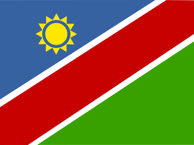
The three countries at the lowest end of 190 compared, the three at the other end, and the first on each continent.
 1
1Photo: Matt Kieffer · CC BY-SA 2.0, greyscale
 2
2 3
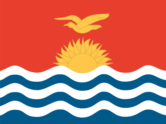
3Photo: Photo taken by Government of Kiribati employee in the course of their work · CC BY 3.0, greyscale
Lowest on each continent
- Africa
- Americas
- Asia
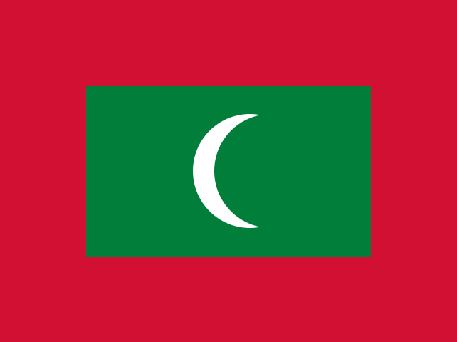 Maldives0.14
 - Europe
2 countries share 0.54
- OceaniaMarshall Islands0.00
- Every region
02Every measured country
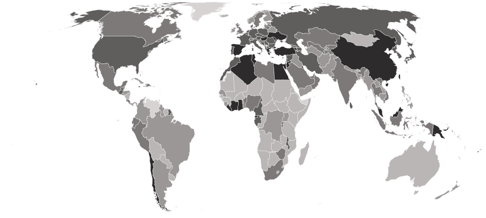
Agricultural emissions intensity on a map
Each country is shaded by its value, in five groups holding the same number of countries. Hover a country for its value, or select it to open its profile. Below the map, each continent’s middle country.
Darker is a lower value — the better end.
- 3.09–28.20
- 1.87–3.06
- 1.26–1.83
- 0.84–1.25
- 0.00–0.82
- No reading in 2023 (1 measured in an earlier edition)
- Europe
1.11
the middle country, of 39 measured · 49 members
2 share 0.54
 Iceland3.35
Lowest and highest reading in Europe.
- Asia
1.47
the middle country, of 50 measured · 52 members
Maldives0.14 Mongolia10.72
Lowest and highest reading in Asia.
- Americas
1.71
the middle country, of 34 measured · 48 members
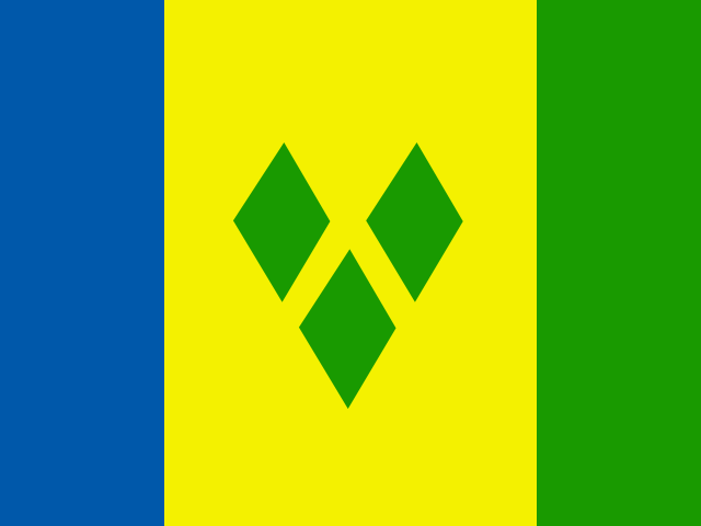 Saint Vincent and the Grenadines0.35
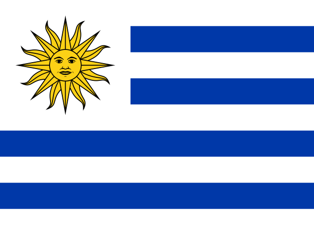 Uruguay4.77
Lowest and highest reading in Americas.
- Oceania
1.83
the middle country, of 13 measured · 21 members
Marshall Islands0.00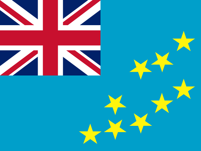 Tuvalu5.13
Lowest and highest reading in Oceania.
- Africa
2.59
the middle country, of 54 measured · 55 members
 Equatorial Guinea0.29
 Botswana28.20
Lowest and highest reading in Africa.
- Every region
22 sub-regions, lowest middle country first
- Western Asia
0.89
the middle country, of 17 measured · 19 members
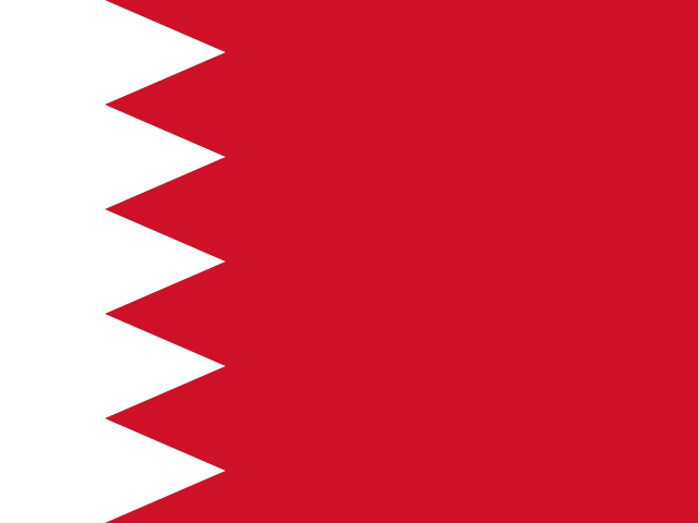 Bahrain0.26
 Qatar3.60
Lowest and highest reading in Western Asia.
- Eastern Asia
0.91
the middle country, of 8 measured · 8 members
 Hong Kong0.33Mongolia10.72
Lowest and highest reading in Eastern Asia.
- Northern Africa
0.93
the middle country, of 6 measured · 6 members
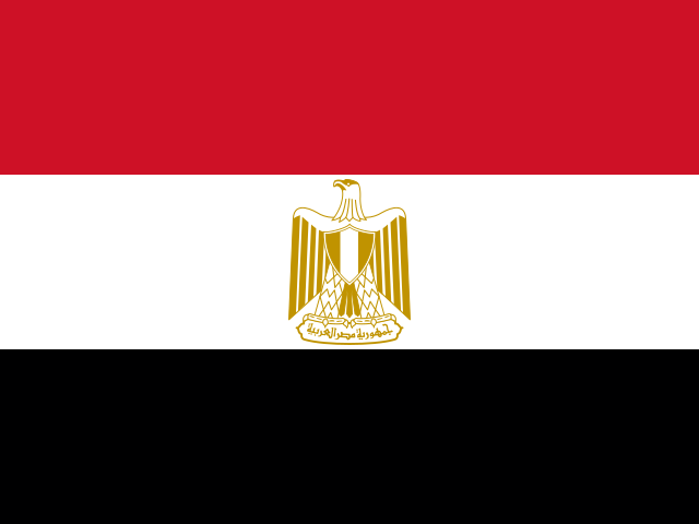 Egypt0.62
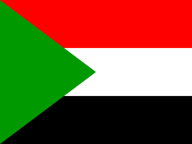 Sudan5.43
Lowest and highest reading in Northern Africa.
- Southern Europe
0.98
the middle country, of 12 measured · 17 members
 Greece0.65
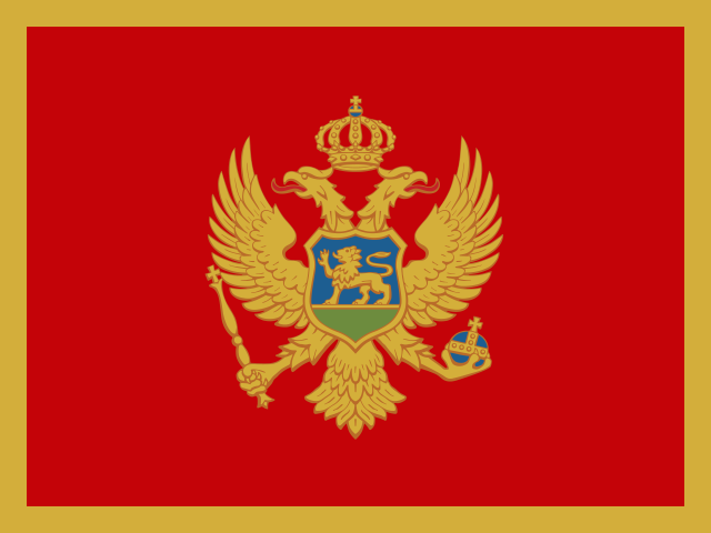 Montenegro2.39
Lowest and highest reading in Southern Europe.
- Eastern Europe
1.02
the middle country, of 10 measured · 10 members
2 share 0.54
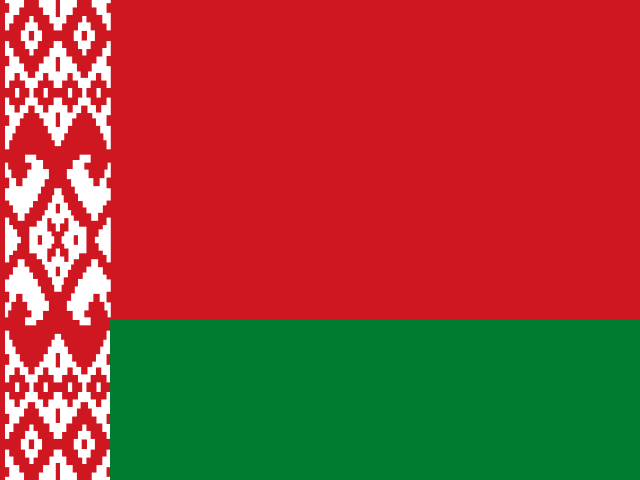 Belarus2.08
Lowest and highest reading in Eastern Europe.
- Western Europe
1.19
the middle country, of 7 measured · 9 members
 Belgium1.01
 Luxembourg2.00
Lowest and highest reading in Western Europe.
- Caribbean
1.44
the middle country, of 13 measured · 24 members
Saint Vincent and the Grenadines0.35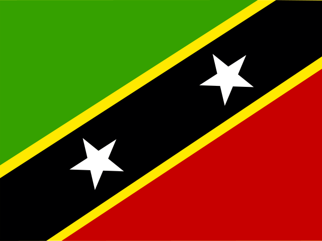 Saint Kitts and Nevis3.21
Lowest and highest reading in Caribbean.
- Central America
1.63
the middle country, of 8 measured · 8 members
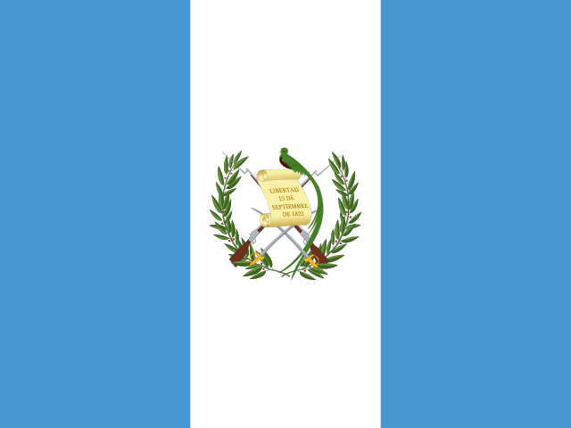 Guatemala1.21
 Nicaragua4.03
Lowest and highest reading in Central America.
- Central Asia
1.64
the middle country, of 5 measured · 5 members
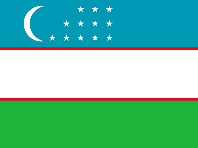 Uzbekistan1.59
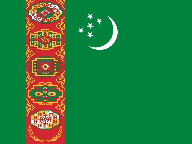 Turkmenistan2.67
Lowest and highest reading in Central Asia.
- South-eastern Asia
1.75
the middle country, of 11 measured · 11 members
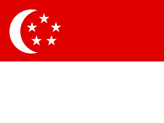 Singapore0.26
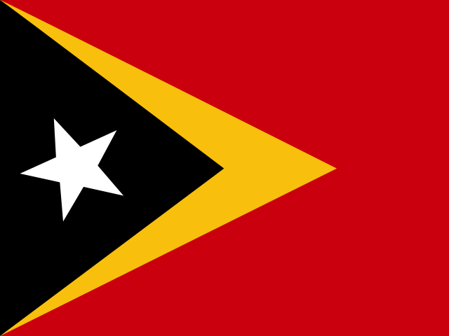 Timor-Leste6.16
Lowest and highest reading in South-eastern Asia.
- Southern Asia
1.87
the middle country, of 9 measured · 9 members
Maldives0.14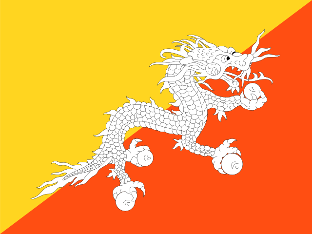 Bhutan3.30
Lowest and highest reading in Southern Asia.
- Northern Europe
2.00
the middle country, of 10 measured · 13 members
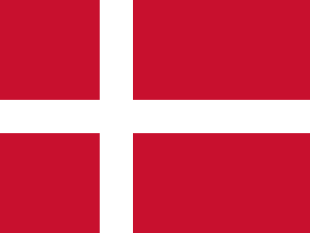 Denmark1.14Iceland3.35
Lowest and highest reading in Northern Europe.
- Middle Africa
2.14
the middle country, of 9 measured · 9 members
Equatorial Guinea0.29 Chad14.13
Lowest and highest reading in Middle Africa.
- South America
2.22
the middle country, of 11 measured · 12 members
 Chile0.76Uruguay4.77
Lowest and highest reading in South America.
- Western Africa
2.72
the middle country, of 16 measured · 16 members
 Côte d’Ivoire0.48
 Mauritania10.23
Lowest and highest reading in Western Africa.
- Eastern Africa
3.37
the middle country, of 18 measured · 19 members
 Mauritius0.37
 South Sudan12.63
Lowest and highest reading in Eastern Africa.
- Southern Africa
6.30
the middle country, of 5 measured · 5 members
 South Africa1.30Botswana28.20
Lowest and highest reading in Southern Africa.
- Australia and New Zealand
2 of 2 measured — too few for a middle: Australia, New Zealand.
 New Zealand2.32
 Australia4.09
Lowest and highest reading in Australia and New Zealand.
- Melanesia
4 of 5 measured — too few for a middle: Fiji, Papua New Guinea, Solomon Islands, Vanuatu.
 Solomon Islands0.54
 Fiji1.76
Lowest and highest reading in Melanesia.
- Micronesia
4 of 7 measured — too few for a middle: Kiribati, Marshall Islands, Micronesia, Nauru.
Marshall Islands0.00 Micronesia2.95
Lowest and highest reading in Micronesia.
- Northern America
2 of 4 measured — too few for a middle: Canada, United States.
 United States0.97
 Canada1.35
Lowest and highest reading in Northern America.
- Polynesia
3 of 7 measured — too few for a middle: Samoa, Tonga, Tuvalu.
 Tonga2.31Tuvalu5.13
Lowest and highest reading in Polynesia.
03The whole field at once
The spread
190 countries, one dot each, on one scale — further right is a higher value. Half the countries are above 1.57; a quarter are above 2.67, and a quarter below 0.95. The bar in each row marks that continent’s middle country.
04All 191 ever measured
Every country
In order, highest value first — position 1 is the highest value, the way FAO’s own tables read. “=” marks a position shared with another country. Food and Agriculture Organization of the United Nations (FAO) ranks nobody on this measure; the position is derived here by ordering the published values. The top of this table is mostly dry grazing land, where rangeland can support little but livestock, plus a few countries where the burning of savanna counts as farming emissions under the international accounting rules. The bottom is city-states and small islands with little farming of any kind. Readings are published to two decimal places, so a zero is a very small number rather than none.
Showing 25 of 191 countries

















































Values for 2023. The change column compares 2023 with 2022 only; the sparkline covers the recent editions.
051990–2023 · 34 reference years
Over time
Each point is one year from 1990, as FAO's latest release calculates it; FAO restates the whole series when its methods or inputs change.
- the middle country
- the middle half of countries
- the middle of the 149 countries measured every time
- each continent’s middle country
The same, year by year
| Year | Countries | Middle country | Middle half | Measured every time |
|---|---|---|---|---|
| 2023 | 190 | 1.57 | 0.95 – 2.67 | 1.53 |
| 2022 | 190 | 1.55 | 0.97 – 2.54 | 1.52 |
| 2021 | 190 | 1.62 | 0.92 – 2.72 | 1.58 |
| 2020 | 190 | 1.59 | 0.94 – 2.65 | 1.60 |
| 2019 | 190 | 1.59 | 0.96 – 2.78 | 1.58 |
| 2018 | 190 | 1.62 | 0.93 – 2.81 | 1.58 |
| 2017 | 190 | 1.65 | 0.95 – 2.88 | 1.62 |
| 2016 | 190 | 1.66 | 0.94 – 2.74 | 1.65 |
| 2015 | 190 | 1.72 | 0.95 – 2.80 | 1.70 |
| 2014 | 191 | 1.75 | 0.97 – 2.77 | 1.66 |
| 2013 | 191 | 1.74 | 0.96 – 2.92 | 1.71 |
| 2012 | 191 | 1.80 | 1.00 – 3.12 | 1.76 |
| 2011 | 189 | 1.78 | 0.98 – 2.96 | 1.83 |
| 2010 | 189 | 1.84 | 1.02 – 3.06 | 1.84 |
| 2009 | 188 | 1.82 | 1.02 – 3.24 | 1.87 |
| 2008 | 188 | 1.86 | 1.05 – 3.34 | 1.84 |
| 2007 | 189 | 1.86 | 1.06 – 3.09 | 1.86 |
| 2006 | 189 | 1.95 | 1.08 – 3.05 | 1.92 |
| 2005 | 187 | 1.98 | 1.12 – 3.09 | 1.98 |
| 2004 | 186 | 1.94 | 1.08 – 3.25 | 1.93 |
| 2003 | 186 | 1.90 | 1.12 – 3.35 | 1.89 |
| 2002 | 186 | 1.94 | 1.13 – 3.33 | 1.92 |
| 2001 | 186 | 1.90 | 1.16 – 3.27 | 1.92 |
| 2000 | 186 | 1.97 | 1.16 – 3.28 | 1.98 |
| 1999 | 184 | 2.00 | 1.13 – 3.51 | 2.00 |
| 1998 | 182 | 2.07 | 1.15 – 3.46 | 2.09 |
| 1997 | 179 | 2.18 | 1.21 – 3.44 | 2.18 |
| 1996 | 178 | 2.20 | 1.24 – 3.49 | 2.17 |
| 1995 | 176 | 2.16 | 1.31 – 3.69 | 2.10 |
| 1994 | 176 | 2.22 | 1.35 – 3.64 | 2.20 |
| 1993 | 170 | 2.30 | 1.35 – 3.76 | 2.20 |
| 1992 | 163 | 2.27 | 1.32 – 3.70 | 2.22 |
| 1991 | 154 | 2.33 | 1.31 – 4.02 | 2.31 |
| 1990 | 160 | 2.34 | 1.38 – 4.16 | 2.28 |
062022 → 2023
Who rose and fell
The biggest changes in value between the two newest editions — reference years recalculated in one report, not two separate publications. Places are shown second, because they also move when other countries do.
Improved most
before → after Lesotho10.01 → 6.30 · 9th → 12th−3.71
 Central African Republic6.93 → 5.61 · 13th → 16th−1.32
 Zambia6.95 → 5.68 · 12th → 14th−1.27
 Republic of the Congo4.63 → 3.81 · 20th → 29th−0.82
 Paraguay4.11 → 3.33 · 27th → 35th−0.78
190 countries were measured in both 2022 and 2023.
07Across every edition
Agricultural emissions intensity in records
The extremes of the statistic. A record reached by more than one country names none of them.
Highest reading on record
57.74
Greenhouse gases from farming per value of agricultural output (kg CO₂eq per international dollar)
Lowest reading on record
Reached 41 times by 2 countries — shared, so no holder is named
0.00
Greenhouse gases from farming per value of agricultural output (kg CO₂eq per international dollar)
Biggest improvement between editions
−34.57
57.74 → 23.17
Biggest decline between editions
+31.13
16.88 → 48.01
Most improved since first measured
−21.26
25.57 → 4.31
At the top most often
26 of 34
editions, alone at the first-listed end
08The measure
About agricultural emissions intensity
This is how much greenhouse gas a country's farming emits for each dollar's worth of crops and livestock it produces — methane from cattle and rice paddies, nitrous oxide from soils and manure, and the burning of crop residues and savanna — as estimated by FAO. Because it is per dollar of output, it compares how emissions-heavy farming systems are, whatever their size.
What the number is: Greenhouse gases from farming per value of agricultural output (kg CO₂eq per international dollar).
What it does not measure
It counts the emissions of farming itself, not of forest cleared for farmland or of food once it leaves the farm, and it includes the burning of savanna, which in a few dry countries is most of the figure. Dry grazing lands can produce little but livestock, so they read as emissions-heavy whatever their herders do.
09Where it fits
Connections
Its part in the Country Index, the statistics whose values line up most closely with it across countries, and others on the same subject.
In the Country Index
Context, with no vote
This statistic is published in full under Environment & Sustainability and Food & Agriculture, but does not help decide any Country Index standing.
Environment & SustainabilityFood & AgricultureWhich statistics vote, and why
Moves with
Where agricultural emissions intensity is higher, these tend to be higher too.
- Learning PovertyWorld Bank Group and UNESCO Institute for Statistics · 107 countries in commonρ 0.48
- Multidimensional Poverty MeasureWorld Bank Group · 139 countries in commonρ 0.44
- Crude Birth RateUN DESA Population Division · 190 countries in commonρ 0.43
Moves against
Where agricultural emissions intensity is higher, these tend to be lower.
- Progress Toward Productive and Sustainable Agriculture (SDG 2.4.1 Proxy)KeyFAO · 185 countries in commonρ −0.60
- GNI per Capita (PPP)World Bank Group · 100 countries in commonρ −0.55
- Minimum Proficiency in Mathematics, End of PrimaryUIS · 117 countries in commonρ −0.49
Rank correlation (ρ, from −1 to 1) across countries, on each statistic’s newest edition, out of 382 statistics sharing at least 80 countries with this one. Two statistics that move together do not cause each other.
10Keep reading
Explore further
11Questions
Agricultural emissions intensity: questions and answers
Which country has the lowest agricultural emissions intensity?
Marshall Islands, at 0.00, among the 190 countries compared in 2023.
Which country has the highest agricultural emissions intensity?
Botswana, at 28.20, among the 190 countries compared in 2023.
How many countries does the Agricultural Emissions Intensity cover?
190 in 2023, and 191 at least once across all editions. The number measured varies from 154 to 191 between editions.
What is the world average agricultural emissions intensity?
This site does not calculate a world average, which would depend on how countries are weighted. In the middle country of the 190 compared in 2023, the figure was 1.57.
Is this Food and Agriculture Organization of the United Nations (FAO)’s own ranking?
No. Food and Agriculture Organization of the United Nations (FAO) publishes the values but ranks nobody; the position on this page is derived by Nations Inquiry by ordering the published values, and equal values share a position.
How often is the Agricultural Emissions Intensity published?
This site holds 34 reference years, 1990–2023, all recalculated in Food and Agriculture Organization of the United Nations (FAO)’s 2025 report on one method — not 34 separate publications.
Where does the data come from, and can I download it?
From Food and Agriculture Organization of the United Nations (FAO), under CC BY 4.0. FAOSTAT's Emissions Indicators domain, read from FAO's own bulk download. FAO computes the ratio from its own emissions estimates and its value of agricultural production; emissions per hectare of farmland and per person are stored beside it. Every edition is on this site’s Datasets pages as a full table, and downloads as a CSV file with every value unrounded.
12Method
Sources, method and citation
Source
Agricultural Emissions Intensity — Food and Agriculture Organization of the United Nations (FAO)
FAOSTAT's Emissions Indicators domain, read from FAO's own bulk download. FAO computes the ratio from its own emissions estimates and its value of agricultural production; emissions per hectare of farmland and per person are stored beside it.
Newest edition
Report year 2023Data year 2023
Cite the source as: FAO. 2025. FAOSTAT: Emissions Indicators. Accessed on 3 October 2026. https://www.fao.org/faostat/en/#data/EM Licence: CC-BY-4.0.
Licence: CC BY 4.0, checked 2026-10-03.
How this page reads the numbers
- Food and Agriculture Organization of the United Nations (FAO) ranks nobody on this measure. The position is derived by Nations Inquiry by ordering the published values; equal values share a position.
- Which end is better follows the publisher’s own reading of the measure.
- A country is named at an end only when it holds that value alone. Where several share it, the page says how many and names none first.
- Values are stored exactly as published and trimmed only for display. “The middle country” is the median of the countries measured, not a world average.
The file itself, column by column — where it came from, what each column holds, and every edition as a CSV — is on its dataset page.
Photographs
The countries at the top of this statistic, from their profiles: Wikimedia Commons, shown in greyscale, each used under the licence named.
- Marshall Islands — Matt Kieffer, CC BY-SA 2.0
- Maldives — Steevie, CC0
- Kiribati — Photo taken by Government of Kiribati employee in the course of their work, CC BY 3.0
Cite this page
Nations Inquiry (2026). Agricultural emissions intensity by country: Agricultural Emissions Intensity, data from Food and Agriculture Organization of the United Nations (FAO). https://nationsinquiry.com/statistics/agricultural-emissions-intensity