Data for 2000
Mangrove Area, 2000
2000, as Global Mangrove Watch (Aberystwyth University’s 2026 release gives it · stored as published, never rewritten
This is the area of mangrove forest a country has, in hectares, mapped from satellite images by Global Mangrove Watch. Mangroves are the salt-tolerant forests of tropical coasts: they shelter shorelines from storms and store large amounts of carbon.
Mangrove Area, 2000 covers 118 countries on 3 measures. Indonesia is highest, at 3,253,709.0; Kuwait is lowest, at 0.0. The middle country reads 7,718.4. Against 1999, 114 values changed (83 up, 31 down), the same countries are covered.
Mangrove Area · Data for 2000

HighestIndonesia
3,253,709.0
LowestKuwait
0.0Shaded by value in five groups of equal size, darkest at the highest end.
01Values only
The table
Every country and every column of Mangrove Area, 2000, as published. The file carries values only, so no position is shown. “=” marks a shared position.
Showing 25 of 118 countries · select a heading to sort
IndonesiaIDNSouth-eastern Asia | 3,253,709.0 | 3,034,724.71 | 3,566,054.96 |
 Brazil BRASouth America | 1,071,286.9 | 999,186.12 | 1,174,127.13 |
 Australia AUSAustralia and New Zealand | 981,791.5 | 915,714.05 | 1,076,040.48 |
 Nigeria NGAWestern Africa | 841,281.2 | 784,660.46 | 922,041.57 |
 Mexico MEXCentral America | 806,964.3 | 752,653.17 | 884,430.33 |
 Myanmar MMRSouth-eastern Asia | 670,553.9 | 625,423.61 | 734,924.96 |
 Malaysia MYSSouth-eastern Asia | 587,723.8 | 548,168.26 | 644,143.48 |
 Papua New Guinea PNGMelanesia | 480,352.9 | 448,023.74 | 526,465.30 |
 Bangladesh BGDSouthern Asia | 428,198.8 | 399,379.72 | 469,304.52 |
 Cuba CUBCaribbean | 415,815.8 | 387,830.18 | 455,732.85 |
 India INDSouthern Asia | 363,233.1 | 338,786.40 | 398,102.31 |
 Mozambique MOZEastern Africa | 315,532.9 | 294,296.59 | 345,823.07 |
 Colombia COLSouth America | 280,954.8 | 262,045.68 | 307,925.56 |
 Guinea-Bissau GNBWestern Africa | 280,394.7 | 261,523.27 | 307,311.68 |
 Madagascar MDGEastern Africa | 279,254.6 | 260,459.89 | 306,062.13 |
 Venezuela VENSouth America | 276,576.9 | 257,962.44 | 303,127.41 |
 Philippines PHLSouth-eastern Asia | 268,932.3 | 250,832.33 | 294,748.93 |
 Thailand THASouth-eastern Asia | 244,474.6 | 228,020.77 | 267,943.45 |
 United States USANorthern America | 239,881.8 | 223,737.03 | 262,909.69 |
 Guinea GINWestern Africa | 234,412.0 | 218,635.39 | 256,914.84 |
 Cameroon CMRMiddle Africa | 214,049.0 | 199,642.90 | 234,597.08 |
 Gabon GABMiddle Africa | 184,995.9 | 172,545.12 | 202,754.92 |
 Panama PANCentral America | 174,568.0 | 162,819.02 | 191,325.95 |
 Vietnam VNMSouth-eastern Asia | 161,999.5 | 151,096.41 | 177,550.90 |
 Sierra Leone SLEWestern Africa | 150,207.8 | 140,098.42 | 164,627.34 |
 Ecuador ECUSouth America | 147,934.6 | 137,978.15 | 162,135.85 |
 Senegal SENWestern Africa | 123,196.1 | 114,904.62 | 135,022.53 |
 Tanzania TZAEastern Africa | 110,603.1 | 103,159.23 | 121,220.71 |
 Suriname SURSouth America | 95,210.7 | 88,802.73 | 104,350.62 |
 Nicaragua NICCentral America | 63,842.7 | 59,545.92 | 69,971.43 |
 Gambia GMBWestern Africa | 62,737.1 | 58,514.69 | 68,759.65 |
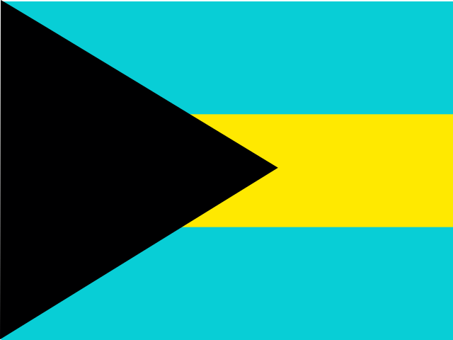 Bahamas BHSCaribbean | 56,061.5 | 52,288.41 | 61,443.25 |
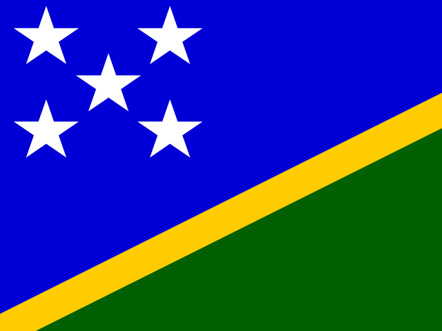 Solomon Islands SLBMelanesia | 51,645.0 | 48,169.13 | 56,602.75 |
 Honduras HNDCentral America | 51,274.3 | 47,823.40 | 56,196.49 |
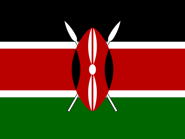 Kenya KENEastern Africa | 50,268.1 | 46,884.86 | 55,093.63 |
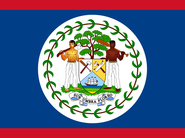 Belize BLZCentral America | 49,874.0 | 46,517.35 | 54,661.77 |
 Fiji FJIMelanesia | 49,699.0 | 46,354.07 | 54,469.91 |
 Pakistan PAKSouthern Asia | 46,572.4 | 43,437.93 | 51,043.19 |
 Cambodia KHMSouth-eastern Asia | 43,596.1 | 40,661.94 | 47,781.18 |
 Costa Rica CRICentral America | 39,363.3 | 36,714.04 | 43,142.06 |
 El Salvador SLVCentral America | 35,800.9 | 33,391.38 | 39,237.66 |
 Guyana GUYSouth America | 31,462.9 | 29,345.37 | 34,483.26 |
 New Caledonia NCLMelanesia | 27,261.5 | 25,426.71 | 29,878.51 |
 Equatorial Guinea GNQMiddle Africa | 26,643.6 | 24,850.41 | 29,201.31 |
 New Zealand NZLAustralia and New Zealand | 25,955.9 | 24,209.03 | 28,447.63 |
 Angola AGOMiddle Africa | 25,644.7 | 23,918.76 | 28,106.55 |
 Guatemala GTMCentral America | 21,764.2 | 20,299.42 | 23,853.52 |
 Dominican Republic DOMCaribbean | 21,519.8 | 20,071.41 | 23,585.58 |
 DR Congo CODMiddle Africa | 19,497.1 | 18,184.84 | 21,368.71 |
 Liberia LBRWestern Africa | 18,878.5 | 17,607.96 | 20,690.82 |
 Haiti HTICaribbean | 17,440.4 | 16,266.64 | 19,114.66 |
 Brunei BRNSouth-eastern Asia | 13,855.2 | 12,922.66 | 15,185.21 |
 China CHNEastern Asia | 11,508.9 | 10,734.31 | 12,613.71 |
 Jamaica JAMCaribbean | 11,093.5 | 10,346.87 | 12,158.44 |
 Sri Lanka LKASouthern Asia | 9,832.6 | 9,170.82 | 10,776.48 |
 Micronesia FSMMicronesia | 8,825.0 | 8,231.10 | 9,672.23 |
 Côte d’Ivoire CIVWestern Africa | 8,339.7 | 7,778.39 | 9,140.25 |
 Puerto Rico PRICaribbean | 8,060.9 | 7,518.33 | 8,834.67 |
 Cayman Islands CYMCaribbean | 7,868.7 | 7,339.14 | 8,624.10 |
 Trinidad and Tobago TTOCaribbean | 7,568.2 | 7,058.79 | 8,294.67 |
 Iran IRNSouthern Asia | 7,111.8 | 6,633.15 | 7,794.51 |
 Eritrea ERIEastern Africa | 6,357.0 | 5,929.14 | 6,967.23 |
 Turks and Caicos Islands TCACaribbean | 6,245.8 | 5,825.47 | 6,845.42 |
 Ghana GHAWestern Africa | 6,117.1 | 5,705.37 | 6,704.29 |
 Palau PLWMicronesia | 5,081.1 | 4,739.15 | 5,568.90 |
 Peru PERSouth America | 4,332.1 | 4,040.50 | 4,747.93 |
 Saudi Arabia SAUWestern Asia | 3,658.3 | 3,412.06 | 4,009.46 |
 Somalia SOMEastern Africa | 3,468.6 | 3,235.13 | 3,801.55 |
 Republic of the Congo COGMiddle Africa | 2,727.2 | 2,543.69 | 2,989.05 |
 United Arab Emirates AREWestern Asia | 2,374.1 | 2,214.29 | 2,601.98 |
 Benin BENWestern Africa | 2,243.7 | 2,092.73 | 2,459.13 |
 Vanuatu VUTMelanesia | 2,068.0 | 1,928.79 | 2,266.49 |
 South Africa ZAFSouthern Africa | 1,843.9 | 1,719.78 | 2,020.88 |
 Timor-Leste TLSSouth-eastern Asia | 1,799.2 | 1,678.15 | 1,971.97 |
 Seychelles SYCEastern Africa | 1,545.4 | 1,441.43 | 1,693.80 |
 Tonga TONPolynesia | 1,353.9 | 1,262.78 | 1,483.87 |
 Yemen YEMWestern Asia | 1,302.3 | 1,214.69 | 1,427.36 |
 Japan JPNEastern Asia | 934.9 | 872.00 | 1,024.67 |
 Antigua and Barbuda ATGCaribbean | 580.6 | 541.53 | 636.34 |
 Djibouti DJIEastern Africa | 492.2 | 459.09 | 539.46 |
 Singapore SGPSouth-eastern Asia | 478.0 | 445.86 | 523.92 |
 Sudan SDNNorthern Africa | 357.0 | 332.96 | 391.26 |
 Grenada GRDCaribbean | 306.0 | 285.44 | 335.41 |
 Mauritius MUSEastern Africa | 273.1 | 254.72 | 299.32 |
 Oman OMNWestern Asia | 244.8 | 228.33 | 268.31 |
 Samoa WSMPolynesia | 224.2 | 209.15 | 245.77 |
 United States Virgin Islands VIRCaribbean | 221.3 | 206.42 | 242.56 |
 Saint Lucia LCACaribbean | 214.4 | 199.93 | 234.94 |
 Kiribati KIRMicronesia | 213.5 | 199.10 | 233.96 |
 Maldives MDVSouthern Asia | 187.5 | 174.89 | 205.52 |
 Egypt EGYNorthern Africa | 161.4 | 150.55 | 176.90 |
 Taiwan TWNEastern Asia | 142.2 | 132.65 | 155.87 |
 Comoros COMEastern Africa | 132.5 | 123.60 | 145.24 |
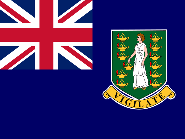 British Virgin Islands VGBCaribbean | 116.3 | 108.44 | 127.43 |
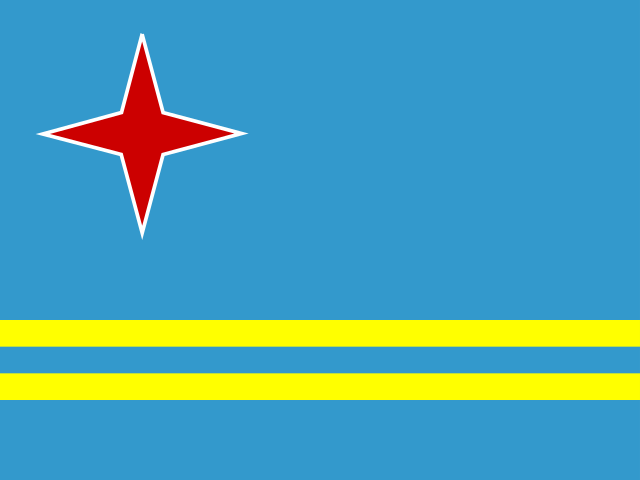 Aruba ABWCaribbean | 90.9 | 84.79 | 99.63 |
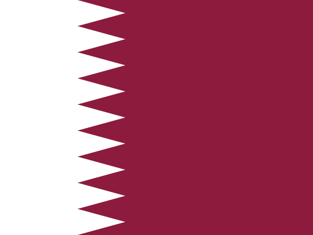 Qatar QATWestern Asia | 88.7 | 82.71 | 97.19 |
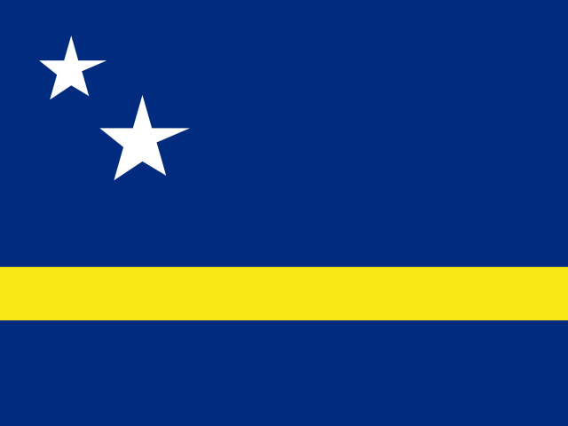 Curaçao CUWCaribbean | 87.8 | 81.86 | 96.19 |
 São Tomé and Príncipe STPMiddle Africa | 64.0 | 59.65 | 70.09 |
 French Polynesia PYFPolynesia | 61.7 | 57.52 | 67.59 |
 Guam GUMMicronesia | 53.2 | 49.58 | 58.26 |
 Saint Vincent and the Grenadines VCTCaribbean | 48.1 | 44.85 | 52.71 |
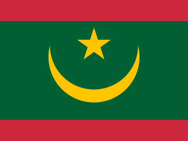 Mauritania MRTWestern Africa | 43.8 | 40.86 | 48.01 |
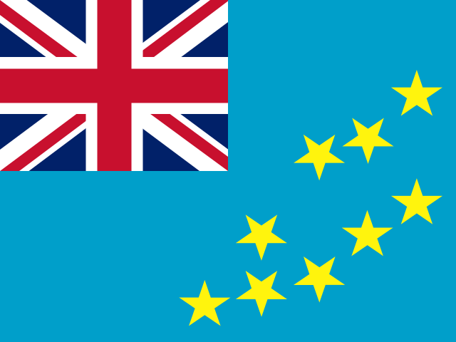 Tuvalu TUVPolynesia | 32.9 | 30.68 | 36.05 |
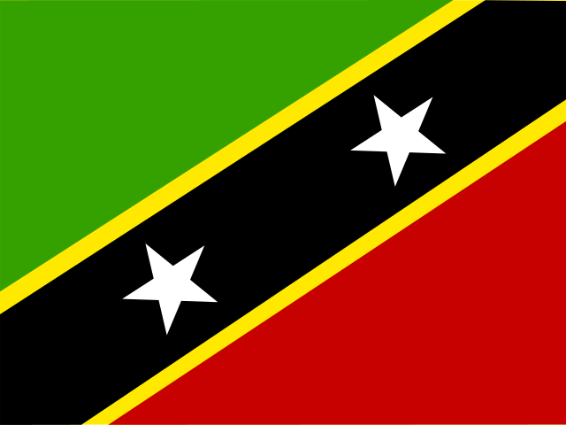 Saint Kitts and Nevis KNACaribbean | 30.9 | 28.83 | 33.88 |
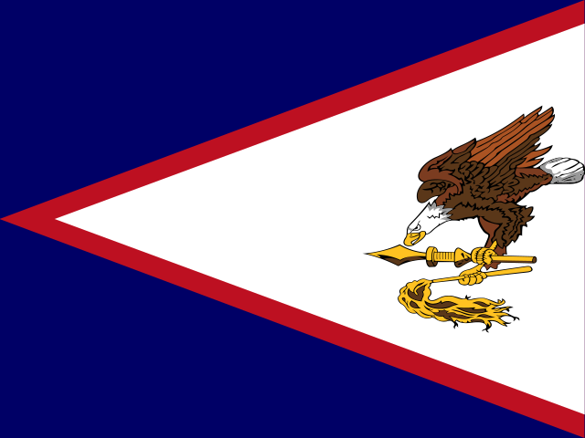 American Samoa ASMPolynesia | 29.7 | 27.66 | 32.50 |
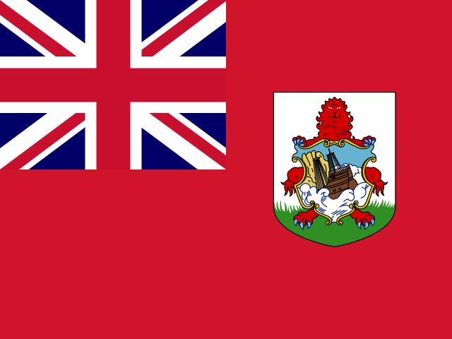 Bermuda BMUNorthern America | 20.2 | 18.88 | 22.18 |
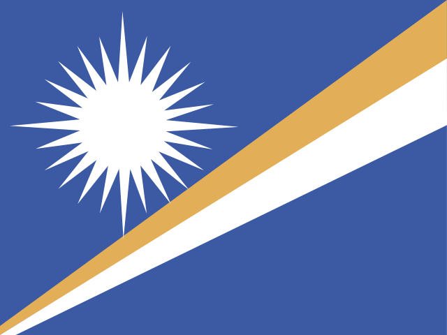 Marshall Islands MHLMicronesia | 19.3 | 18.00 | 21.16 |
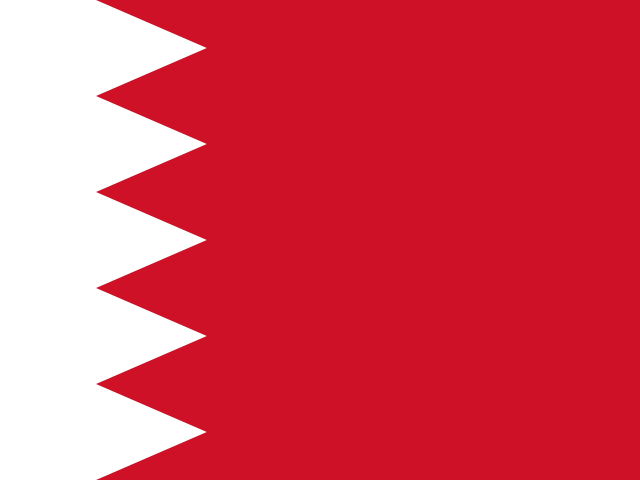 Bahrain BHRWestern Asia | 17.5 | 16.35 | 19.22 |
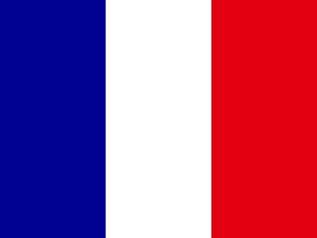 Saint Martin MAFCaribbean | 16.6 | 15.44 | 18.14 |
 Togo TGOWestern Africa | 16.5 | 15.39 | 18.09 |
 Barbados BRBCaribbean | 12.3 | 11.44 | 13.44 |
 Dominica DMACaribbean | 10.7 | 9.98 | 11.73 |
 Anguilla AIACaribbean | 2.7 | 2.48 | 2.91 |
 Sint Maarten SXMCaribbean | 2.2 | 2.09 | 2.46 |
 Northern Mariana Islands MNPMicronesia | 1.3 | 1.18 | 1.39 |
 Cook Islands COKPolynesia | 0.7 | 0.69 | 0.81 |
 Nauru NRUMicronesia | 0.4 | 0.41 | 0.48 |
KuwaitKWTWestern Asia | 0.0 | 0.00 | 0.00 |
02In 2000
At either end
The 5 countries at each end of the headline, then the highest and lowest on each other measure.
Lowest
- Kuwait0.0
- Nauru0.4
- Cook Islands0.7
- Northern Mariana Islands1.3
- Sint Maarten2.2
Neither end is better. The values describe a shape, not a score. The middle country reads 7,718.4. “Shared” marks a value another country also holds.
Each measure’s ends
031999 → 2000
Since 1999
- +0 / −0countries joined / left
- 114values changed, of 118 in both
- 83 · 31rose · fell
- 4unchanged
Rose most
04Caveats
Read before you use
One year of the 2026 release
Every year in this series comes from Global Mangrove Watch (Aberystwyth University’s 2026 release, recalculated on one method, so a change from one year to the next is not a revision. It can differ from what was first published for 2000.
Nothing missing
Every one of the 118 countries has every column.
05The files
Download and cite
- .csv
For a spreadsheet or code
118 rows · 9.3 KB · UTF-8, opens in Excel
Opens with 11 lines of source notes; the table starts on row 13.
Download mangrove-area-2000-nations-inquiry.csv - ↗
The publisher’s original
Global Mangrove Watch (Aberystwyth University’s own file, on its own site.
21346457
What this site changed: Reshaped to one row per country, with its ISO code; no value recalculated, rescaled or rounded. In full
Licence: CC BY 4.0 · what it allows, in plain words
Cite this edition
Global Mangrove Watch (Aberystwyth University, JAXA, soloEO, Wetlands International, The Nature Conservancy) (2000). Mangrove Area, 2000 [data set], describing 2000. As held by Nations Inquiry, https://nationsinquiry.com/datasets/mangrove-area/2000
0641 held
Other years
‹ The year before
Mangrove Area, 1999118 countries
The year after ›
Mangrove Area, 2001118 countries
All of them
Mangrove Area: every year41 held, with the data dictionary, coverage and licence.
How it has moved, charted by country