Dataset · FAO
Land Area
64 years, 1961–2024 · 221 countries
How much land a country has, excluding lakes, rivers and the sea it claims. It is the other denominator this site leans on: population density, arable land per person and the share of a country that is forest or farm all divide by this number.
This site holds every year from 1961 to 2024, read from FAO’s own data and stored exactly as published.
Land Area · the file
- Newest
- Land Area, 2024
- Held
- 64 years · 12,930 rows
- Licence
- CC BY 4.0
0164 years
Every year
Newest first. Each opens the full table for that year, and each downloads as a CSV.
| Year | Countries | Change | Read | Download |
|---|---|---|---|---|
| Land Area, 2024Newest | 221 | ±0 | September 10, 2026 | CSV |
| Land Area, 2023 | 221 | −1 | September 10, 2026 | CSV |
| Land Area, 2022 | 222 | ±0 | September 10, 2026 | CSV |
| Land Area, 2021 | 222 | ±0 | September 10, 2026 | CSV |
| Land Area, 2020 | 222 | ±0 | September 10, 2026 | CSV |
| Land Area, 2019 | 222 | ±0 | September 10, 2026 | CSV |
| Land Area, 2018 | 222 | ±0 | September 10, 2026 | CSV |
| Land Area, 2017 | 222 | ±0 | September 10, 2026 | CSV |
| Land Area, 2016 | 222 | ±0 | September 10, 2026 | CSV |
| Land Area, 2015 | 222 | ±0 | September 10, 2026 | CSV |
| Land Area, 2014 | 222 | ±0 | September 10, 2026 | CSV |
| Land Area, 2013 | 222 | ±0 | September 10, 2026 | CSV |
Show all 64 years
| Year | Countries | Change | Read | Download |
|---|---|---|---|---|
| Land Area, 2012 | 222 | +2 | September 10, 2026 | CSV |
| Land Area, 2011 | 220 | +3 | September 10, 2026 | CSV |
| Land Area, 2010 | 217 | ±0 | September 10, 2026 | CSV |
| Land Area, 2009 | 217 | ±0 | September 10, 2026 | CSV |
| Land Area, 2008 | 217 | ±0 | September 10, 2026 | CSV |
| Land Area, 2007 | 217 | ±0 | September 10, 2026 | CSV |
| Land Area, 2006 | 217 | +2 | September 10, 2026 | CSV |
| Land Area, 2005 | 215 | ±0 | September 10, 2026 | CSV |
| Land Area, 2004 | 215 | ±0 | September 10, 2026 | CSV |
| Land Area, 2003 | 215 | ±0 | September 10, 2026 | CSV |
| Land Area, 2002 | 215 | ±0 | September 10, 2026 | CSV |
| Land Area, 2001 | 215 | ±0 | September 10, 2026 | CSV |
| Land Area, 2000 | 215 | +2 | September 10, 2026 | CSV |
| Land Area, 1999 | 213 | ±0 | September 10, 2026 | CSV |
| Land Area, 1998 | 213 | ±0 | September 10, 2026 | CSV |
| Land Area, 1997 | 213 | ±0 | September 10, 2026 | CSV |
| Land Area, 1996 | 213 | ±0 | September 10, 2026 | CSV |
| Land Area, 1995 | 213 | ±0 | September 10, 2026 | CSV |
| Land Area, 1994 | 213 | ±0 | September 10, 2026 | CSV |
| Land Area, 1993 | 213 | +4 | September 10, 2026 | CSV |
| Land Area, 1992 | 209 | +19 | September 10, 2026 | CSV |
| Land Area, 1991 | 190 | +4 | September 10, 2026 | CSV |
| Land Area, 1990 | 186 | ±0 | September 10, 2026 | CSV |
| Land Area, 1989 | 186 | ±0 | September 10, 2026 | CSV |
| Land Area, 1988 | 186 | ±0 | September 10, 2026 | CSV |
| Land Area, 1987 | 186 | ±0 | September 10, 2026 | CSV |
| Land Area, 1986 | 186 | ±0 | September 10, 2026 | CSV |
| Land Area, 1985 | 186 | ±0 | September 10, 2026 | CSV |
| Land Area, 1984 | 186 | ±0 | September 10, 2026 | CSV |
| Land Area, 1983 | 186 | ±0 | September 10, 2026 | CSV |
| Land Area, 1982 | 186 | ±0 | September 10, 2026 | CSV |
| Land Area, 1981 | 186 | ±0 | September 10, 2026 | CSV |
| Land Area, 1980 | 186 | +1 | September 10, 2026 | CSV |
| Land Area, 1979 | 185 | ±0 | September 10, 2026 | CSV |
| Land Area, 1978 | 185 | ±0 | September 10, 2026 | CSV |
| Land Area, 1977 | 185 | ±0 | September 10, 2026 | CSV |
| Land Area, 1976 | 185 | ±0 | September 10, 2026 | CSV |
| Land Area, 1975 | 185 | ±0 | September 10, 2026 | CSV |
| Land Area, 1974 | 185 | ±0 | September 10, 2026 | CSV |
| Land Area, 1973 | 185 | ±0 | September 10, 2026 | CSV |
| Land Area, 1972 | 185 | ±0 | September 10, 2026 | CSV |
| Land Area, 1971 | 185 | ±0 | September 10, 2026 | CSV |
| Land Area, 1970 | 185 | ±0 | September 10, 2026 | CSV |
| Land Area, 1969 | 185 | ±0 | September 10, 2026 | CSV |
| Land Area, 1968 | 185 | ±0 | September 10, 2026 | CSV |
| Land Area, 1967 | 185 | ±0 | September 10, 2026 | CSV |
| Land Area, 1966 | 185 | ±0 | September 10, 2026 | CSV |
| Land Area, 1965 | 185 | ±0 | September 10, 2026 | CSV |
| Land Area, 1964 | 185 | ±0 | September 10, 2026 | CSV |
| Land Area, 1963 | 185 | ±0 | September 10, 2026 | CSV |
| Land Area, 1962 | 185 | ±0 | September 10, 2026 | CSV |
| Land Area, 1961 | 185 | — | September 10, 2026 | CSV |
Every year in one file, one row per country per year: land-area-all-editions-nations-inquiry.csv
023 columns
What’s in the file
Every column, what it holds, how it is stored and what its values look like — what a reader needs before opening the file.
| Column | What it holds | Stored as | Range, 2024 | Distinct | Empty | Spread |
|---|---|---|---|---|---|---|
CountrycountryName | The country’s name, as this file spells it. | Text | — | 221 | 0 | |
ISO Codecountry_codeIdentifier | The ISO 3166-1 alpha-3 code, added by this site. Every table here joins on it. | Text · 3 letters | — | 221 | 0 | |
Land area (sq. km)land_areaHeadline | The headline figure: Land area (sq. km). | Number · up to 14 decimals | 0 Vatican City16,376,870  Russiamiddle 87,589 | 219 | 0 |
Profiled from the newest file. Range: the lowest and highest value, with the country holding it when only one does. Spread: countries in ten equal steps from lowest to highest. Neither end is better. The values describe a shape, not a score.
03222 countries across every year
Who is covered
How many countries each year holds, continent by continent, who joined and who left, and which places this site covers that the dataset never has.
| 2013 | 2014 | 2015 | 2016 | 2017 | 2018 | 2019 | 2020 | 2021 | 2022 | 2023 | 2024 | |
|---|---|---|---|---|---|---|---|---|---|---|---|---|
| Africa | 54 | 54 | 54 | 54 | 54 | 54 | 54 | 54 | 54 | 54 | 54 | 54 |
| Americas | 48 | 48 | 48 | 48 | 48 | 48 | 48 | 48 | 48 | 48 | 47 | 47 |
| Asia | 51 | 51 | 51 | 51 | 51 | 51 | 51 | 51 | 51 | 51 | 51 | 51 |
| Europe | 48 | 48 | 48 | 48 | 48 | 48 | 48 | 48 | 48 | 48 | 48 | 48 |
| Oceania | 21 | 21 | 21 | 21 | 21 | 21 | 21 | 21 | 21 | 21 | 21 | 21 |
| All | 222 | 222 | 222 | 222 | 222 | 222 | 222 | 222 | 222 | 222 | 221 | 221 |
The newest 12 of 64 years.
Who joined and who left
- 2023
 − Nicaragua
- 2012
 + Sudan
 + South Sudan
- 2011
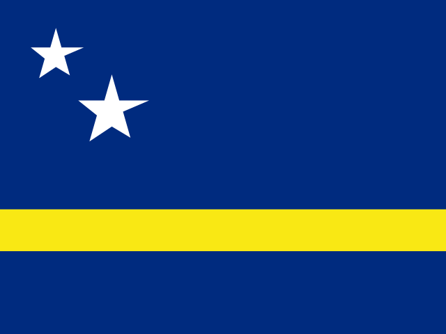 + Curaçao
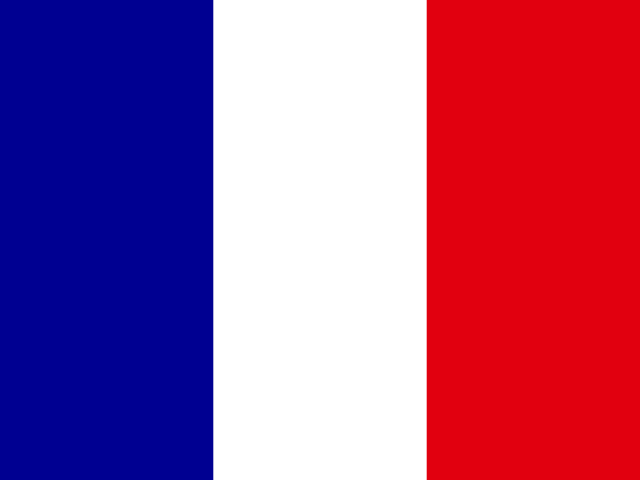 + Saint Martin
 + Sint Maarten
- 2006
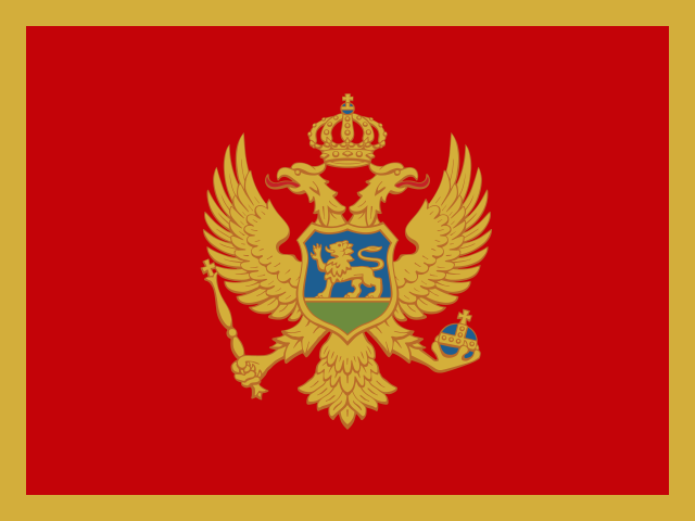 + Montenegro
 + Serbia
- 2000
 + Belgium
 + Luxembourg
- 1993
 + Czechia
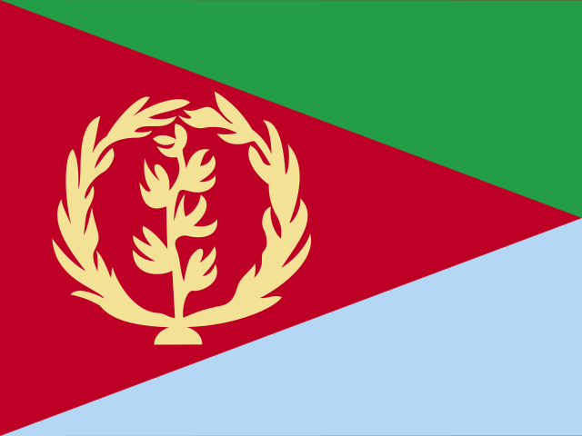 + Eritrea
 + Ethiopia
 + Slovakia
- 1992
 + Armenia
 + Azerbaijan
 + Bosnia and Herzegovina
 + Belarus
 + Estonia
 + Georgia
 + Croatia
 + Kazakhstan
 + Kyrgyzstan
 + Lithuania
 + Latvia
 + Moldova
 + North Macedonia+ Russia
 + Slovenia
 + Tajikistan
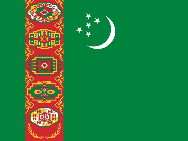 + Turkmenistan
 + Ukraine
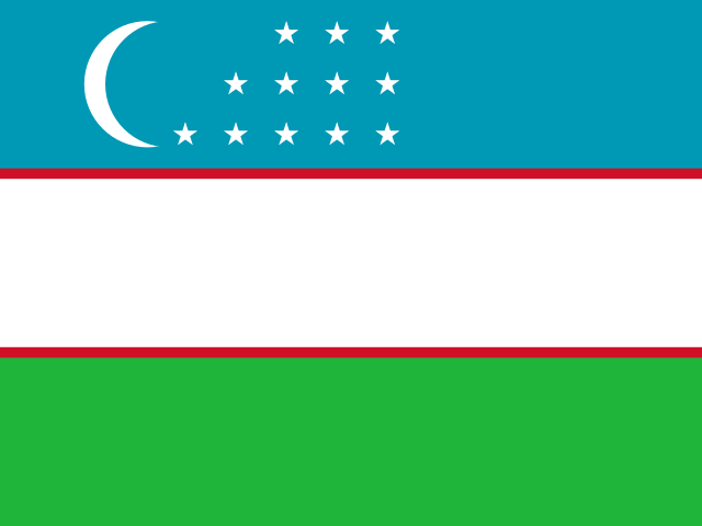 + Uzbekistan
- 1991
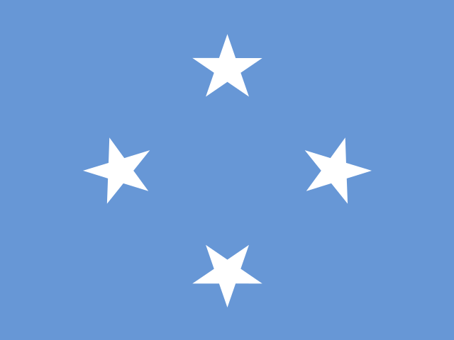 + Micronesia
 + Marshall Islands
 + Northern Mariana Islands
 + Palau
Not in this dataset · 3 places this site covers
FAO gives no figure for these in any year held here. It is the publisher’s choice of scope, and each place’s profile shows what is measured.
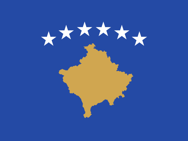
04Provenance
Where it comes from
The path from the publisher to this page, and what was checked and changed on the way.
1 · Publisher
Food and Agriculture Organization of the United Nations (FAO)
2 · Their file
FAOSTAT Land Use: land area, 2024
3 · Read by this site
September 10, 2026
Imported by a script that parses each figure and writes it down unrounded.4 · Stored as
64 files, one per year
Each downloads as a CSV, or every year together as land-area-all-editions-nations-inquiry.csv5 · Used on
Its statistic page, and every profile it measures
Precision
The headline is stored to 14 decimals, as published.
Rounded by this site
Never. Tables on screen may show fewer decimals; the files never do.
Changed by this site
Reshaped into one row per country: regional and income-group totals are left out, only the columns listed are kept, each row gets its ISO 3166 code, and some country names are brought to one spelling. No value is recalculated, rescaled or rounded.
From FAOSTAT's Land Use domain, read from the FAO's own bulk download and converted from 1000 hectares to square kilometres. The World Bank serves the same series but its copy has drifted — 26 countries differ in 2022.
05Reuse
Licence and credit
What the publisher’s licence lets you do, what it asks of you, and a credit line and citation ready to copy.
Licence · checked September 10, 2026
- Share and redistribute it
- Adapt it and build on it
- Use it commercially
- Credit the publisher
- Say what you changed
Share, adapt and use commercially. Credit the publisher and say if you changed anything.
A credit line
Source: Food and Agriculture Organization of the United Nations (FAO), Land Area, via Nations Inquiry.
Cite this dataset
Food and Agriculture Organization of the United Nations (FAO). Land Area, 1961–2024 [data set]. As held by Nations Inquiry, https://nationsinquiry.com/datasets/land-area
The publisher’s own citation: FAO. FAOSTAT Land, Inputs and Sustainability: Land Use. Rome: Food and Agriculture Organization of the United Nations.
Plain-language summary, not legal advice. The licence text is what binds.
06Questions
Land Area: questions and answers
What is the Land Area?
How much land a country has, excluding lakes, rivers and the sea it claims. It is the other denominator this site leans on: population density, arable land per person and the share of a country that is forest or farm all divide by this number.
Which years of the Land Area can I download?
All 64, from 1961 to 2024, each as a CSV file, or every year together in one CSV.
Does FAO rank countries on it?
No. FAO publishes values only. The positions shown on this site are derived by ordering the published values, and are labelled as ours.
Can I use it commercially?
Yes, under CC BY 4.0, with credit to FAO. The licence text is linked on this page.